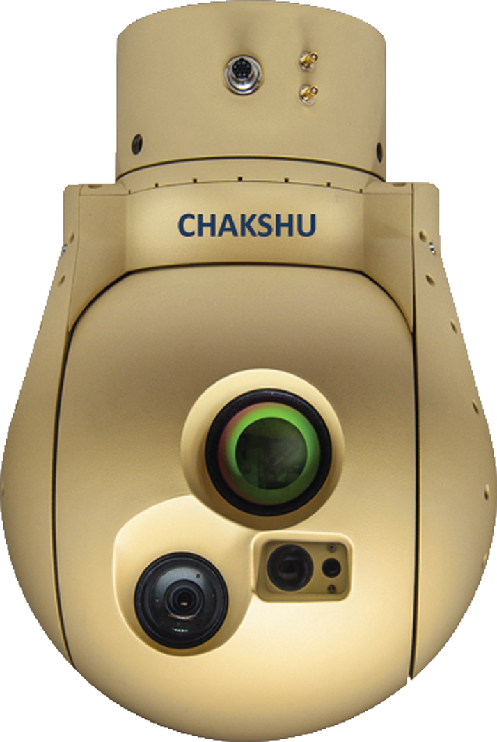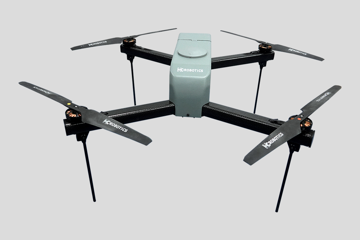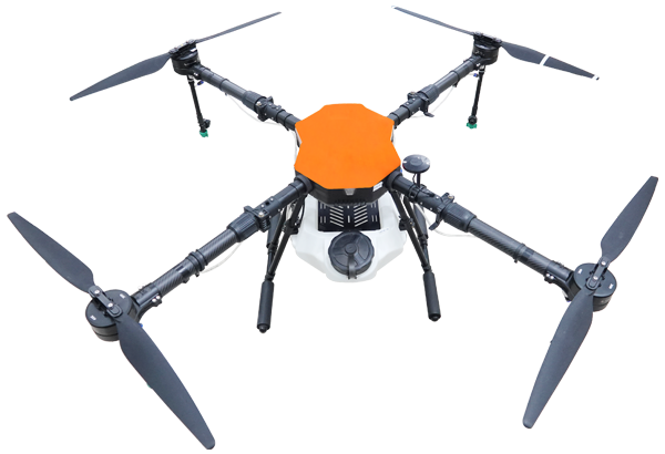
Quadcopter
Engineered to perform

Estimates target GPS coordinates with high accuracy
HD / 4K EO-IR camera with near real-time 1K video transmission
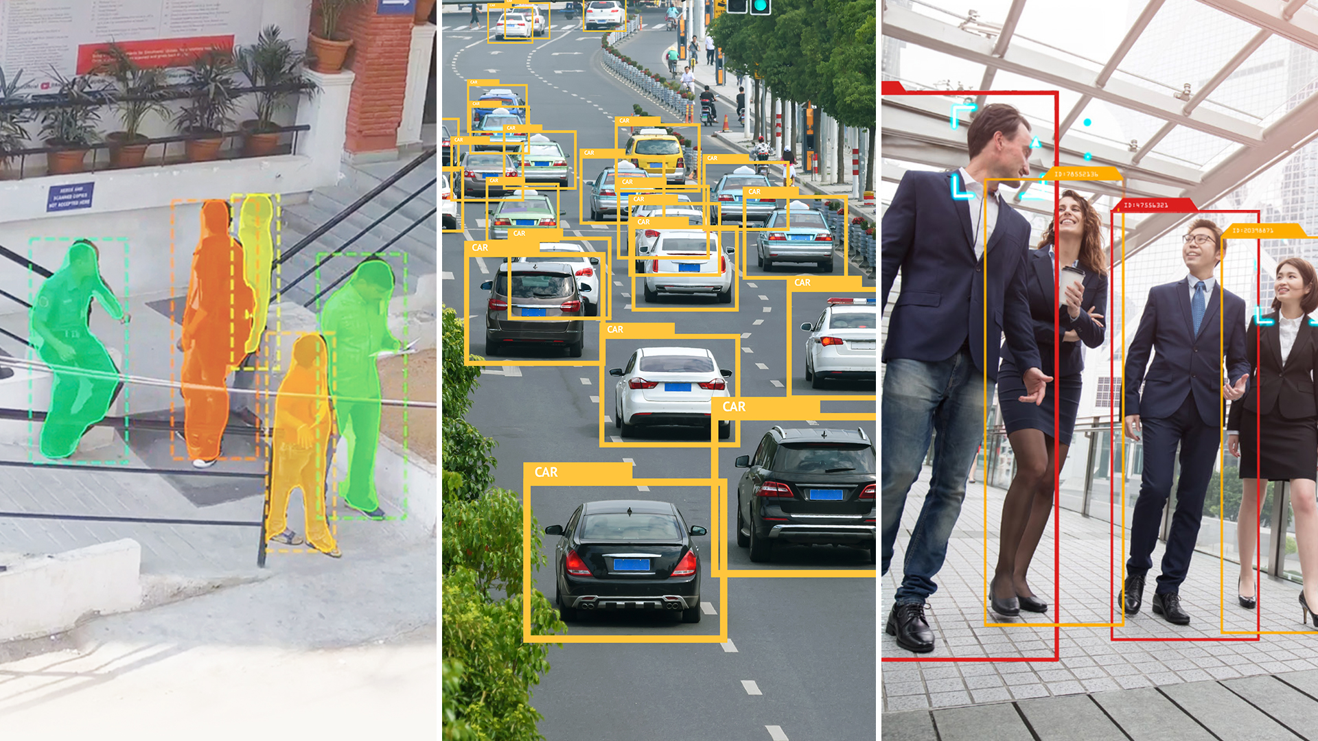
Optional onboard image processing powered by AI
Foldable landing gear with manual & autonomous navigation


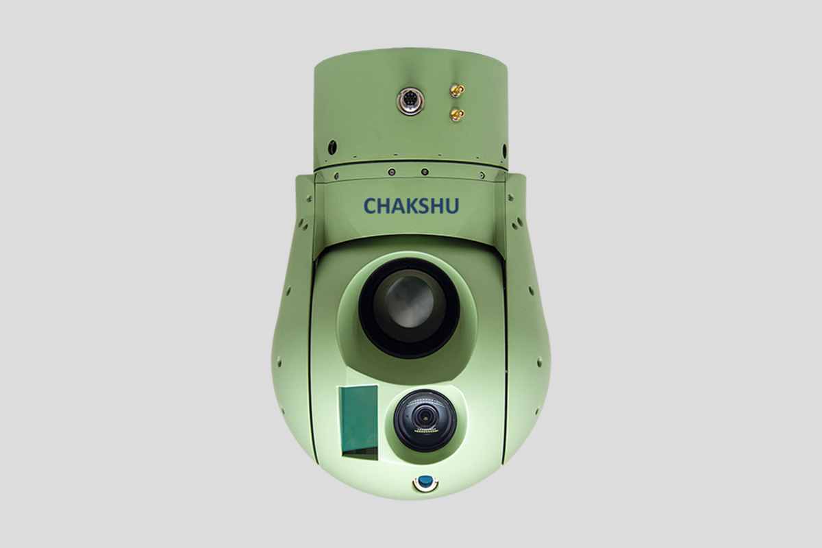
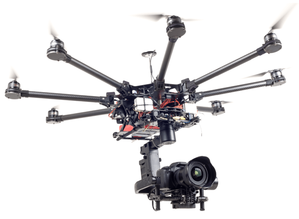
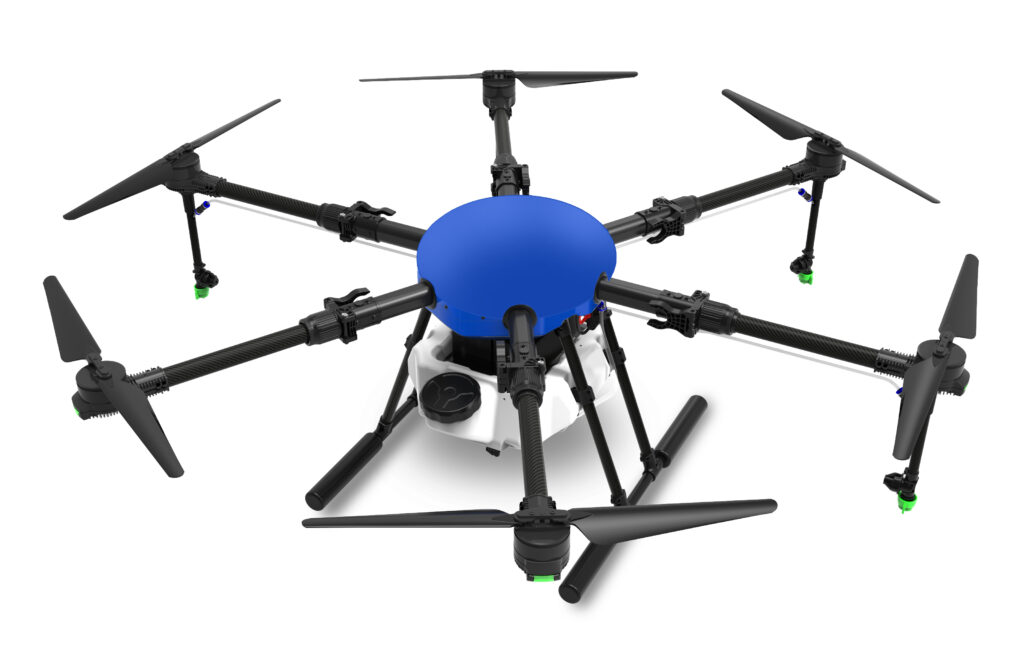
Quadcopter
Engineered to perform
Estimates target GPS coordinates with high accuracy
HD / 4K EO-IR camera with near real-time 1K video transmission
Optional onboard image processing powered by AI
Foldable landing gear with manual & autonomous navigation